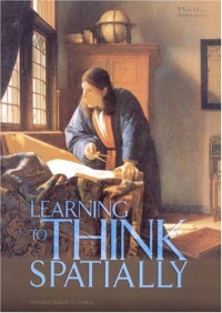
Learning to Think Spatially: GIS as a Support System in the K-12 Curriculum
National Research Council"Learning to Think Spatially: GIS as a Support System in the K-12 Curriculum" examines how spatial thinking might be incorporated into existing standards-based instruction across the school curriculum. Spatial thinking must be recognized as a fundamental part of K-12 education and as an integrator and a facilitator for problem solving across the curriculum. With advances in computing technologies and the increasing availability of geospatial data, spatial thinking will play a significant role in the information- based economy of the 21st-century. Using appropriately designed support systems tailored to the K-12 context, spatial thinking can be taught formally to all students. A geographic information system (GIS) offers one example of a high-technology support system that can enable students and teachers to practice and apply spatial thinking in many areas of the curriculum.
 Amazon
  Barnes & Noble
  Bookshop.org
  File converter
 More search results
 More benefits


![National Geographic — National Geographic [ November 2014]](https://s3proxy.cdn-zlib.se/covers200/collections/genesis/9249d363efdc235492af8f26f6b204168144976f701d62c6983ab3e900920f48.jpg)
![National Geographic — National Geographic [January 2015]](https://s3proxy.cdn-zlib.se/covers200/collections/genesis/400a766e3dbcb91bda1967ea2850c5e79b7648e5367f57c3781a301921f27a0f.jpg)


Most frequently terms
Related Booklists